This thesis explores the ways in which green roofs can be used to counteract three major urban ecological challenges in New York City. Taking the city’s existing infrastructural landscape as the starting point, this thesis moves to identify underutilized spaces where green roofs would be most amenable and beneficial from the perspective of (1) stormwater retention, (2) surface temperature regulation, and (3) biodiversity enhancement. Users are given opportunities to explore the data themselves and engage with questions regarding the aggregative effects, and benefits of such interventions. Ultimately the goal of this project is to provide creative ways of interacting with the New York City 'building-scape' in order to foster community engagement and informed decision making for residents and policy-makers alike.
Explore the live project here and visit my Github repository to learn more about my methodology and development process.

Scrolling Narrative Approach
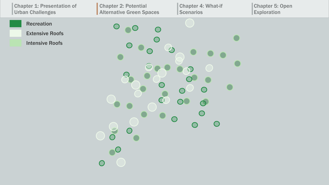
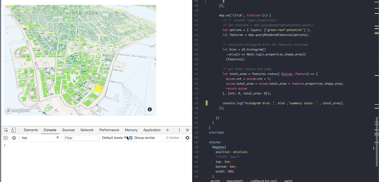
For this work, I ultimately decided to use a split pane scrolling narrative approach to provide written qualitative, textual, explanations on the right side, while the map provides spatial context on the left. For this design we intentionally chose to put both the spatial and the contextual on equal footing which is why we used the 50-50 page split. The user initially is introduced to the existing infrastructure of New York City and then taken through a series of 'reality filters' to explore which buildings would be most favorable for green roof development.
Benefit Calculator
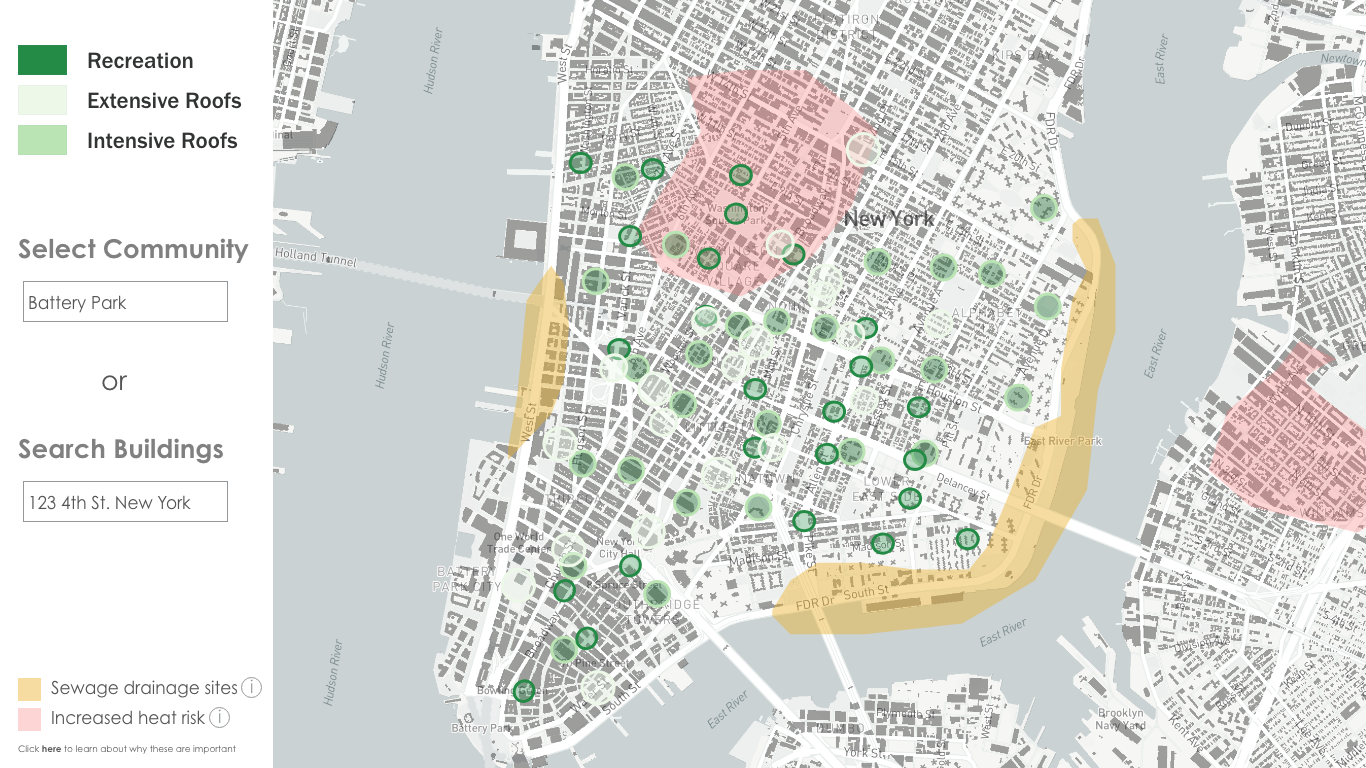
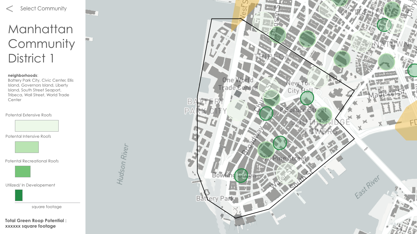
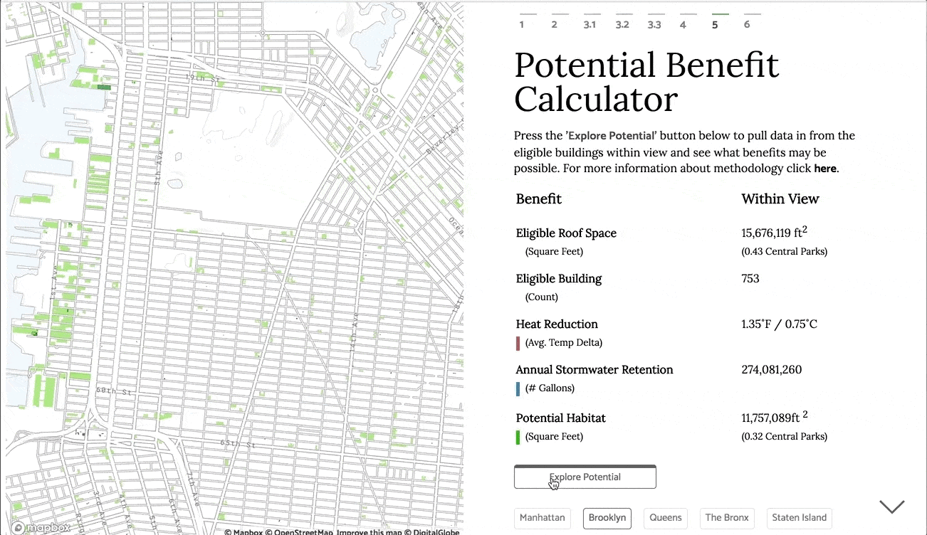
After filtering over 1 million buildings in New York City, the user is then encouraged to engage with the data and explore what it would mean to implement green roofs in their neighborhood of interest. By zooming in on an area, users can select which buildings to take into account in a preliminary 'Benefit Calculator.' This calculator looks at benefits regarding 3 main urban challenges for dense urban centers like NYC – namely, extreme heat reduction, stormwater management and biodiversity. For each of these challenges, the user also has an additional contextual layer that they can toggle on and off as they explore the data more in depth.
Iterative Design Process
This thesis is the result of 5 months of work during the final spring semester of the Masters in Data Visualization program at Parsons School of Design. This work is also the result of a close collaboration with the Urban Systems Lab – a research lab on campus that looks at the dynamics of interacting social, ecological, and technical infrastructure components of urban systems for improving policy and planning towards more equitable, resilient, and sustainable cities.
Selected snapshots from the design/development process can be viewed in the slideshow below.